
Trace a Conroe Street by Address
For a Conroe street search, begin with the address as it is used today, then keep the parcel and legal-description details with it. Montgomery County records use different keys. MCAD ties a location to an appraisal account, the map ties it to a parcel polygon, and a deed often relies on a subdivision, lot, block, or metes-and-bounds description instead of a modern street line. Working in that order keeps an address search from turning a tax mailing field into a claim about who is currently present.
- Search the full address in the Montgomery Central Appraisal District Public Portal. Save the PropID, GEO ID, Tax Office ID, property address, and legal description before opening related records.
- Use the Montgomery County What’s Around Me map to click the address or parcel. Pan along the road and identify nearby address points or parcels rather than treating the map as a household list.
- Use the county’s street search only with its required address pieces. It can provide a registration-search route, not a complete list of everyone at every address.
- Search the owner or legal description in the Montgomery County Clerk Public Records Search. The deed result supplies the party roles and instrument details needed to work backward.
- For an older Conroe address, compare a reverse or criss-cross directory where available. The city-directory collections are best used as dated snapshots, not current proof.
Keep the original spelling as well as the form accepted by each search box. A street form may ask you to omit a direction or suffix, while a deed or plat can preserve those words as part of the legal record. Note: A postal Conroe label can extend beyond the incorporated city, so check municipal and ETJ layers before assigning a record to the city.
Conroe Street Records at MCAD
MCAD is the practical first stop for a current Conroe street directory search. Its public portal exposes a Compound Text Search field and a year selector. The search can accept an owner name, property address, account number, PropID, GEO ID, or a related text term. Results can show PropID, GEO ID, Tax Office ID, owner, DBA, and property address. A “No Rows to Show” message can reflect punctuation, an overly narrow term, or a different selected year, not a conclusion that the location never existed.
| MCAD field | Input or output | Use in a street search |
|---|---|---|
| Compound Text Search | Text for owner, address, account, or legal terms | Starts a parcel search when a simple address term misses. |
| Year | Available appraisal-year selector | Separates the selected appraisal record from another year. |
| PropID and GEO ID | Result identifiers | Stable keys to retain for the parcel card, map, and later research. |
| Tax Office ID | Result identifier | Connects the parcel result to the tax-office reference path. |
| Owner, DBA, property address | Result columns | Distinguish a recorded owner or business name from the situs address. |
The MCAD property-search screen is shown below. Open the parcel card after a result and keep its owner or secondary-owner field separate from the location and mailing fields.
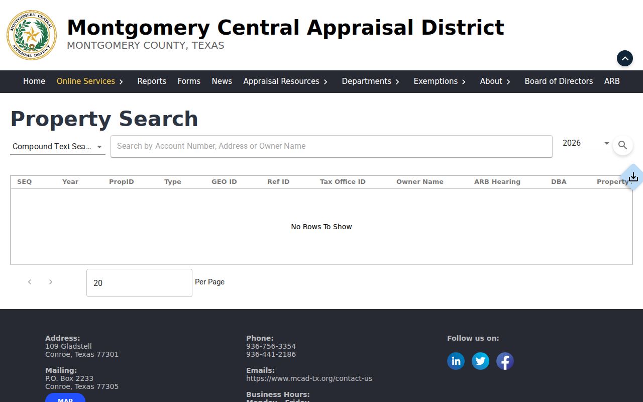
Parcel detail can include the legal description, property use, value history, exemptions, taxing units, map ID, market area, and protest-status fields. Those details are useful for matching a parcel across sources. They do not create a roster for a street.
Conroe Street Addresses and Parcel Keys
A reliable Conroe street directory search keeps four kinds of location information apart. The situs or location address identifies the parcel itself. The owner or party address is where tax or recording correspondence goes. The legal description identifies land through a subdivision, lot and block, or metes-and-bounds language. The PropID or GEO ID is an appraisal and mapping key. A deed may omit the modern street address, which is why the legal description can be the stronger bridge to an older instrument.
- Parcel
- A mapped unit of land in the appraisal and GIS systems. Its boundaries and identifiers make it more dependable than a casual street spelling.
- Situs address
- The physical location of the parcel or structure. It is not the same thing as the tax owner’s mailing address.
- Plat
- A recorded subdivision map that can connect a lot and block to a street, adjoining parcels, and a legal description.
- Criss-cross directory
- An address-first directory arrangement that can offer a dated occupant or business lead when the volume includes it.
Conroe can describe an incorporated city, a postal city, or an area in the extraterritorial jurisdiction. When the address has a Conroe mailing line, check the county map and CityView city-limit layers before calling it a municipal record. The research did not locate a verified Conroe renumbering or street-renaming project. When an older address fails to match, use the parcel ID, subdivision name, lot and block, and current map point rather than inventing a name-change bridge.
Walk a Conroe Street on County Maps
The county’s What’s Around Me application is built for parcel and address context. Click an address or parcel, then move to the next parcel polygon along the street. Where no parcel is available, the map can select a hex grid and return nearby or intersecting address points. Its layers include parcels, FEMA floodplain data, watersheds, municipalities and ETJs, school districts, ESDs, patrol areas, drainage, MUD or WCID boundaries, roads, utilities, precincts, census tracts, and elected-representative areas.
The What’s Around Me parcel viewer provides the map layer used for this part of a Conroe street directory workflow.
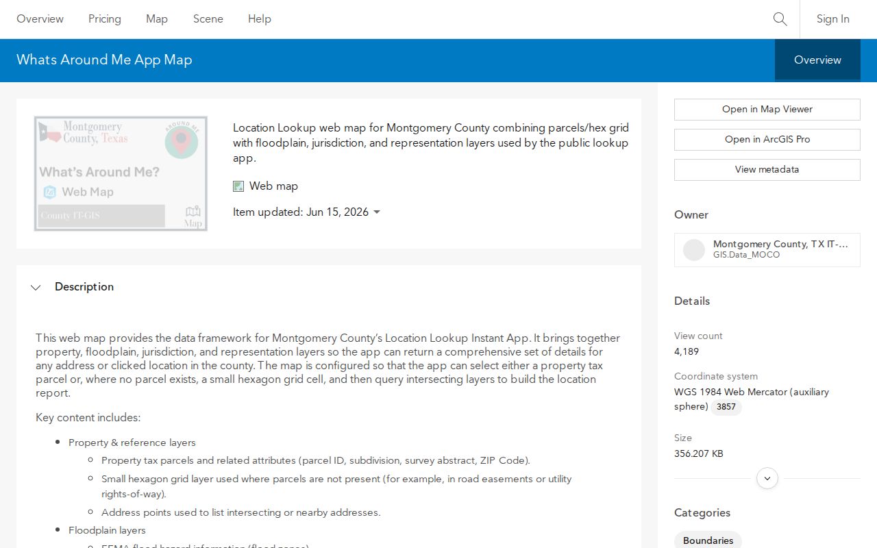
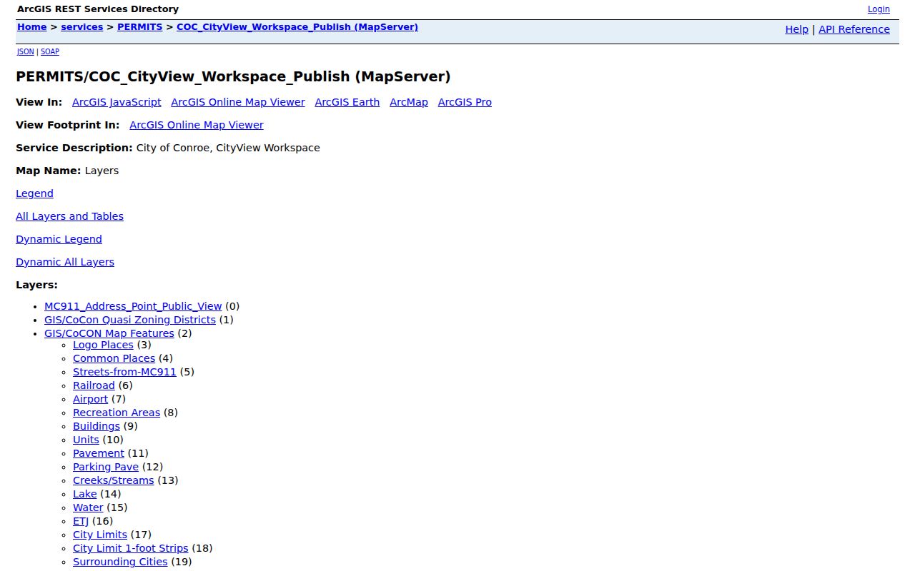
For city context, the City of Conroe CityView GIS service adds MC911 address points, streets, buildings, units, water features, city limits, ETJ, and surrounding-city layers. Use identify, find, query, or export only where exposed. A point on either map identifies geography, not a resident.
Conroe Street Deed Searches
The County Clerk’s index is the recorded-instrument layer of the Conroe street directory. Quick Search has a Search Term field for a grantor, grantee, subdivision, document type, or document number. It also has start and end dates, presets from the last 24 hours through the last year, and a choice between Search Index Only and Search Index & Full Text. Two or more words in an index search are treated separately, while OCR can search a phrase. Use a street name as a lead only, since OCR and legal descriptions can produce unrelated hits.
Search the current MCAD owner as grantee, then inspect the acquisition deed for the grantor, grantee, recording date, instrument number, legal description, subdivision, lot, block, and image indicator. Search the earlier seller as a grantee to continue the ownership trail. The official Clerk public-records search is the index; an image may be available through its displayed path or may require its account or cart process.
The public county record series reaches back to 1838, but the official portal does not state the exact online indexing cutoff. If a desired instrument does not appear online, use the Clerk copy-request form. Plain copies are listed at $1 per page and certification adds $5 per document. The form permits instrument or volume and page information, book type, plain or certified selection, and up to eight requested records. It states a 24 to 72 hour estimate, subject to staff workload and volume.
The Montgomery County Clerk public-records search is the official recorded-instrument entry point for a Conroe street directory search.
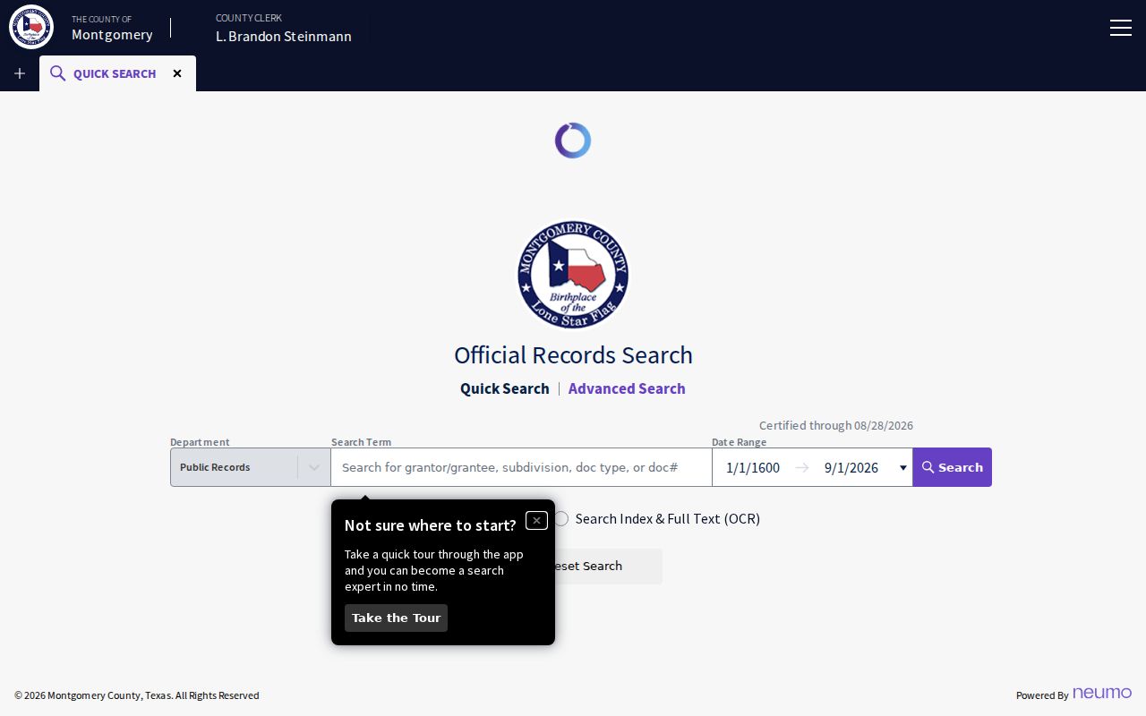
Use the index result to preserve a recorded party role and legal description before requesting an underlying image or copy.
Conroe Street Voter Search
Montgomery County’s voter street search has House Number, Street Name, and ZIP Code fields. The instructions say to omit N, S, E, W and street types such as Dr, Rd, or Cir, and they allow partial street names. That formatting rule is specific to the election form. Preserve the full address elsewhere because the appraisal and deed systems can use different address language. A non-match can reflect a spelling issue, a protected record, a recent move, or a search limitation.
The Montgomery County voter street search is shown here. It is an address search route, not a public export of every registered person along a road.
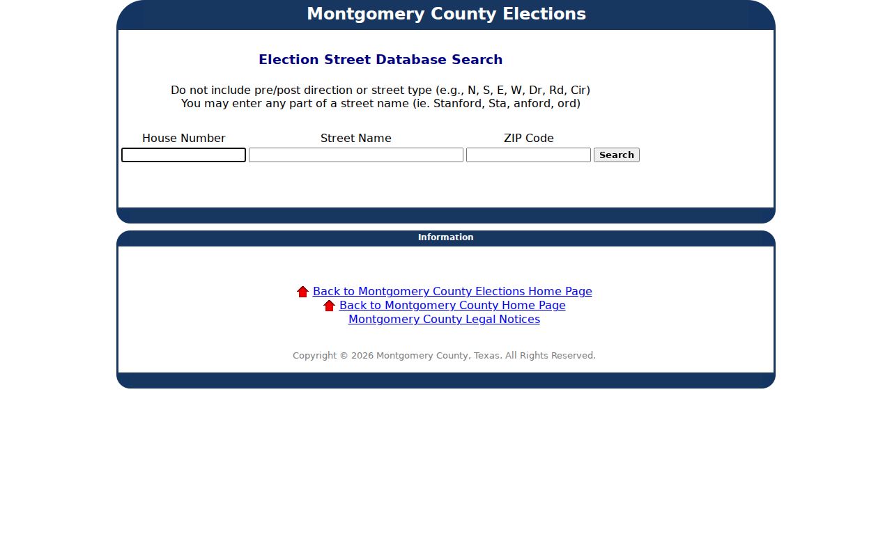
Texas Election Code provisions protect Social Security numbers, driver and DPS identification, telephone information, and protected addresses. Election Code section 18.009 also bars use of voter-registration data for advertising or promoting commercial products or services. A lawful voter-file request is a separate process and does not turn an address search into a complete household record.
Conroe Street Permit and CO Records
City permit and Certificate of Occupancy material can add building and use history to an address record. The CityView records layer can point to planning or engineering records, flat-file numbers, Initial or Final Certification, buildings, and Certificate of Occupancy context. A completed Certificate of Occupancy form can contain owner, applicant, contractor, architect, prior use, proposed use, signature, and date fields. Those are document roles, so they should not be read as a current-resident list.
The CityView GIS service is the online starting point for street-related map layers and permit context.
When a map point is not enough, send a narrow request under the City Certificate of Occupancy process or the Texas Public Information Act. Give the address, date range, document type, and preferred delivery format. A public body must provide existing information when it is available and not exempt, but it does not have to create a new report or conduct open-ended research.
Conroe Street Records by Address
Each address-keyed record has a limited role. A parcel card can identify the recorded tax owner and mailing relationship. GIS describes the parcel and its surrounding geography. A deed shows recorded parties and legal description. The election form can support a narrow registration search. Permits document a submitted or approved project. Use the shared IDs to compare records, but preserve the purpose and date of each source.
| Address record | Custodian | Useful fields | Access route |
|---|---|---|---|
| Parcel card | Montgomery Central Appraisal District | Owner, mailing and situs fields, legal description, identifiers | Public portal with year selector |
| County GIS | Montgomery County IT-GIS | Parcel, address points, boundaries, districts, nearby features | Map click, address, identify, or query |
| Recorded deed or plat | Montgomery County Clerk | Grantor, grantee, instrument, date, legal description | Public index, office copy, or mail copy request |
| Voter street form | Montgomery County Elections | House number, street name, ZIP, registration-search route | County form subject to election-law limits |
| Permit or CO context | City of Conroe | Record point, project/use information, roles, certification context | City GIS, department, or narrow public-information request |
The county tax office also offers name, address, account, CAD reference, and fiduciary searches. It is useful for cross-checking a tax-account reference, while MCAD remains the fuller parcel-detail source. Note: A parcel number is a better bridge between records than a street label that may be abbreviated, reformatted, or absent from an older instrument.
Conroe Growth and Street Search Precision
Conroe’s growth makes precise address work more important. Census QuickFacts reports 89,956 people in the April 1, 2020 census and an estimated 119,564 on July 1, 2025, a 33.0 percent increase from the 2020 base. These dated population figures describe scale, not a directory of people. More subdivisions, parcel records, and address points also mean that a partial street term can return more possible matches.
Use a house number, full street, ZIP, and the MCAD identifiers when possible. Then use the map’s municipal and ETJ layers to establish the geographic setting. The phrase “Conroe, TX” on mail can describe a postal area outside the city limits. Dated parcel and map evidence is stronger than an assumption drawn from a fast-growing postal label.
Conroe Street History Clues
For a past street association, TSLAC confirms Conroe city-directory holdings for 1984, 1988, 1990, and 1992. A reverse or criss-cross arrangement can convert an address into a dated lead for an occupant, business, or institution when that volume includes it. The TSLAC city-directory guide explains that directory entries can include a name, street address, telephone number, spouse information, and sometimes additional notation. The printed material is generally researched onsite or through partner collections, and staff do not perform phone searches or email scans.
Compare an address across the four verified snapshots rather than filling the gaps between them. A move, an omitted listing, a changed telephone record, or address formatting can create a false break. The historical volumes are described in more detail on the Conroe city directory page. For older downtown building context, a 1938 Sanborn map can show streets and structures, but it does not identify a household.
Conroe Street Privacy Limits
Property records do not establish every person at an address. The tax owner may receive mail elsewhere, a parcel may be held by an entity, trustee, or estate, and a homestead exemption is a tax-record indicator rather than proof of all household members. A voter match is similarly limited to its own record. Utility customer information and motor-vehicle residence information are not public street-directory shortcuts, and protected voter addresses can be suppressed.
Lawful use. Conroe address records are for personal, lawful research such as family history, property questions, and civic transparency. Do not use an address result to monitor, threaten, contact repeatedly, or harass a person.
Texas public-record access is record specific. The Texas Public Information Act can provide existing government records subject to exemptions, and it does not create a right to a personal profile. When an office withholds a sensitive field or a search is blank, treat that limit as part of the record rather than a cue to guess. Note: Protected-voter and Address Confidentiality Program safeguards can make a missing address intentional.