
Conroe Neighbors Block Sources
A block search answers several smaller questions. A county map can show touching parcels and nearby address points. MCAD can show the recorded owner and separate mailing and situs fields. CityView can establish whether the location is inside the City of Conroe, its ETJ, or another nearby jurisdiction. A voter route has statutory limits, and historic sources can place a name or building in a dated layer. None of these systems is a complete roster of everyone around an address.
| Block source | What it can show near an address | Access route |
|---|---|---|
| What’s Around Me | Parcel clicks, nearby or intersecting address points, and district or hazard layers | Public county ArcGIS map |
| CityView GIS | City limits, ETJ, buildings, units, streets, common places, and map queries | Public City of Conroe service |
| MCAD property portal | Owner, tax mailing and situs relationship, legal description, values, exemptions | Public parcel search |
| County Clerk index | Deed, plat, and other recorded party roles for a lot or legal description | Public index and custodian copy request |
| Voter street search | Address-based registration search route using house, street, and ZIP | County form subject to Texas Election Code limits |
| Historic directory and map sources | Dated occupants, businesses, street fabric, and building context | Library, archives, and digitized collections |
Recorded owner is not the same as every person at a property. A mailing address may be elsewhere, a parcel may be held by an entity or trustee, and a location may use a Conroe postal label while falling outside city limits. Work from the map and record identifiers, rather than from a name-only assumption.
Map a Conroe Neighbor Block
The county’s adjacent-parcel method is a map-browse process, not a named radius tool. Locate the target address, click its parcel polygon, then pan to each parcel that touches it. When a parcel is missing, use the address point or hex grid to establish the map location and then move to the county parcel search. Save each parcel ID and legal description before deciding whether another official record is relevant.
- Open Montgomery County What’s Around Me and locate the target address or map point.
- Click the target parcel, record its parcel identifier and legal description, then identify the parcels that touch its boundary.
- Open each relevant parcel in MCAD’s property portal and keep the situs and owner mailing fields as separate facts.
- Use the legal description or owner name in the County Clerk public records search only when a deed or plat question remains.
- For a full street-by-street chain, continue with the Conroe street directory rather than treating a small block search as the whole street.
This process gives every neighboring parcel its own evidence trail. It also prevents an adjacent address point from being mistaken for a shared owner or a shared household.
Conroe Neighbors in What’s Around Me
What’s Around Me supports parcel or hex-grid selection and returns nearby or intersecting address points. Its layers include parcels, FEMA floodplain and FIRM information, LOMR or LOMA, watershed, municipalities and ETJs, school districts, ESDs, patrol and constable areas, drainage, MUD or WCID, roads, utilities, commissioner precincts, census tracts, and elected-representative areas. The map turns a neighbor search into a geographic check rather than a list-making exercise.
The county ArcGIS item reported a June 2026 update during research. That is useful context, but the map is dynamic. Recheck visible layers and labels when an exact boundary matters, especially in fast-growing areas or where a postal Conroe label overlaps city, ETJ, or county geography.
The official What’s Around Me viewer is the source for the Conroe neighbors parcel and layer workflow.
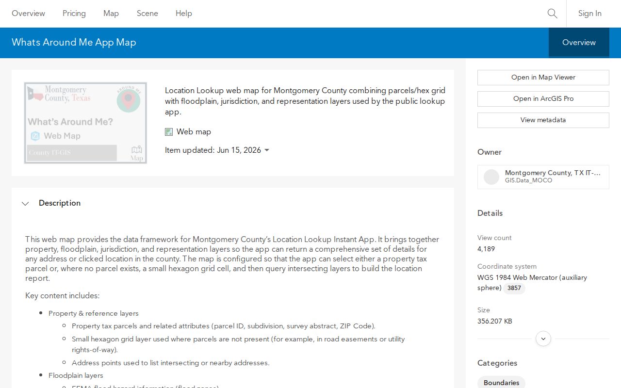
Use the map to compare parcel context and public district layers, not to infer private household details from nearby points.
Conroe Neighbors Through CityView
CityView provides a second local map layer. Its public service exposes MC911 address points, streets, buildings, units, common places, city limits, ETJ, surrounding cities, water, airport, recreation, and zoning-like information. Use Identify for an individual map feature and Query, Find, or Export where those functions are exposed. The service states a maximum record count of 1,000, so broad exports are not a substitute for a careful address-by-address check.
Check CityView before calling a parcel a city record. Conroe’s incorporated boundary, a one-foot strip, the ETJ, and nearby cities can all differ from a postal-city label. For construction or use history, CityView and the City permit route can lead to a narrow request for a specific address and date range. A Certificate of Occupancy can connect an address to owner, applicant role, prior or proposed use, and inspection context, but it is not a current resident list.
The CityView GIS service shows the city-layer side of a Conroe neighbors search.
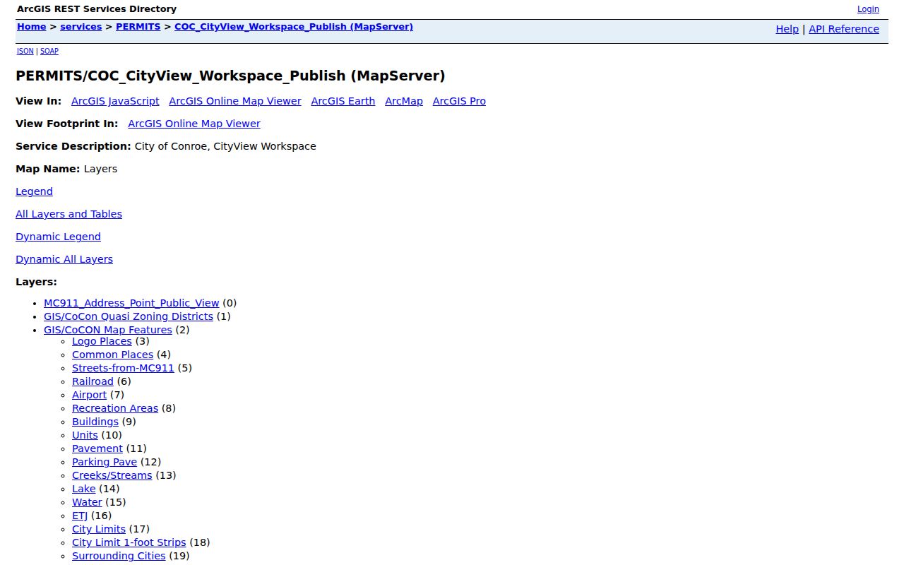
The CityView result should be read alongside county parcel geometry because boundaries and building layers answer different questions.
Compare Conroe Neighbor Address Fields
MCAD separates the property or situs address from the owner’s mailing address. The property address identifies the parcel’s location. The mailing field is where tax correspondence goes. If a mailing address is outside the block, it may reflect an owner who uses another correspondence location, a business, a trustee, or an entity. It is not a reason to treat the owner as absent, or to republish the field as a neighborhood contact list.
The same caution applies to homestead information. A homestead exemption can be a tax-purpose clue about owner occupancy, but it does not establish every person associated with an address. Parcel cards can also list multiple owners, secondary owners, legal descriptions, use type, taxing units, and values. The parcel ID and legal description are usually steadier identifiers than a casually typed street name.
The City of Conroe MCAD parcel layer shows the local geometry and property or owner-address context used in this comparison.
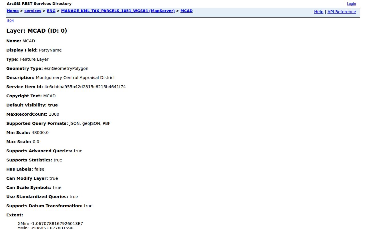
Pair the parcel geometry with MCAD’s current card, then use a recorded deed or plat only when the lot or ownership trail needs confirmation.
Conroe Neighbors and Voter Records
The Montgomery County voter street search accepts house number, street name, and ZIP. Its instructions say to omit directions and street types and allow partial street names. This is an address lookup route, not a public download of everyone on a block. Keep the form’s normalized search entry separate from the full legal address used in deeds and plats.
Texas Election Code section 18.005 describes name, date of birth, registration number, and residence address in specified public-list contexts. Section 13.004 protects Social Security numbers, driver or DPS identifiers, telephone information, and certain addresses. Section 18.009 makes use connected with advertising or promoting commercial products or services a Class A misdemeanor. Address-confidential and protected voters can be suppressed, and the absence of an address should never be interpreted as a move or as proof that a person is not registered.
For broader official voter data, use the Texas Secretary of State’s lawful request process rather than compiling results from address searches. The county form and state rules govern access, retention, and use.
Conroe Neighbors Community History
There is no verified City of Conroe neighborhood-association directory or public HOA membership roster in the official sources reviewed. A plan label, such as the Homestead District in the city’s Downtown Development Plan, describes civic geography rather than a membership list. For current meeting or association information, contact an organization directly and ask what it chooses to make public. Do not assume a private roster exists or is available.
| Research contact | Useful public material | Roster boundary |
|---|---|---|
| Montgomery County Genealogical & Historical Society | Local research community, meetings, collection referrals, and genealogy context | No public membership roster should be expected |
| Montgomery County Historical Commission | Markers, cemeteries, preservation contacts, and place history | Place history, not a current resident roster |
| Montgomery County Memorial Library collections | Digitized Conroe Courier material and local-history context | Historic research access, not member or household data |
Historic block research can combine a 1938 Sanborn sheet, directories, newspapers, and recorded plats, but each is dated evidence. A Sanborn map may show a building or use. A directory may place a name at an address in a particular year. A deed identifies a recorded party role. Keep those layers separate instead of turning old records into a claim about present Conroe neighbors.
The City of Conroe’s official site is the starting point for city department contacts and public planning context.
The official city entry point supplies public department information, while community membership information remains with the individual organization.
Conroe Neighbors Source Comparison
Official sources identify the record they actually keep and provide a path back to the custodian. Commercial neighbor-lookup products often combine public filings, marketing data, address associations, and inferred relationships. A compiled result may be old, merge people with the same name, omit protections, or use a different update cycle. For a block question, official geography and a record-specific source are more useful than a broad profile.
| Official record route | Commercial neighbor-lookup category | Best use |
|---|---|---|
| County GIS, CityView, MCAD, County Clerk, and election channels identify their custodian and scope. | May combine property, marketing, address, and inferred-relationship data with uneven timing. | Use the official route to verify a parcel, map boundary, recorded party role, or lawful registration question. |
| Custodian copies and narrow Texas Public Information Act requests can clarify a missing existing record. | May charge recurring fees and cannot replace a custodian’s certified or redacted record. | Ask for the existing address, date range, permit, case, or instrument needed. |
Note: A block map is strongest when it answers a geographic question, such as which parcels touch or which district applies, rather than trying to assemble a dossier about people.
Privacy Limits on Conroe Neighbors
Several details remain private even when a parcel map is public: household composition, private utility and delivery information, unlisted phone data, protected-voter addresses, sealed court material, motor-vehicle address information, and sensitive permit attachments. A permit applicant may be an owner, agent, contractor, or architect rather than a person associated with the address. Use only the minimum public record needed for the question.
The Texas Address Confidentiality Program protects eligible participants through a substitute address, and related voter protections can suppress addresses. Public information is not unrestricted personal information. If an existing city or county record is needed, send a narrow written request under the Texas Public Information Act that names the record type, address, and date range. The agency does not have to create a new record or research a general question.
Lawful use. Conroe neighbors research can support personal curiosity, block geography, and historical work. Do not use a public-record detail to stalk, harass, threaten, or intimidate anyone.